#Flying Panels exhibition
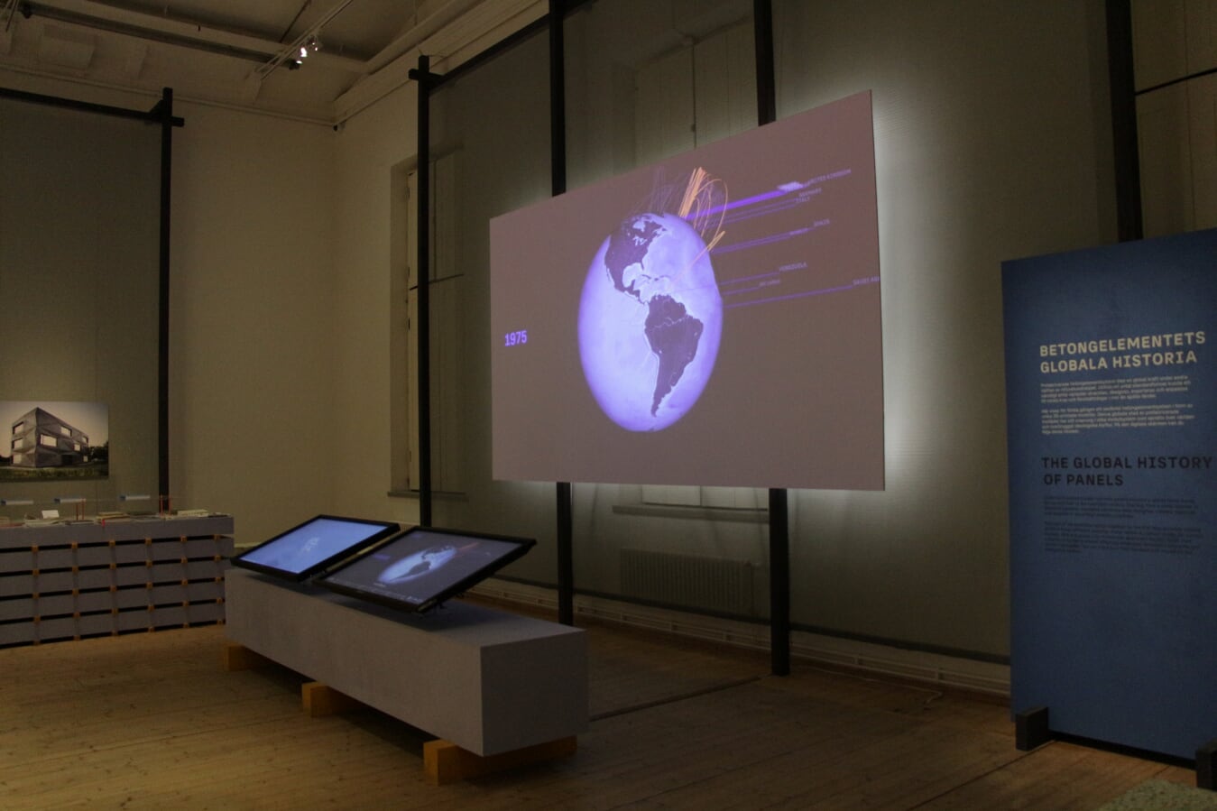
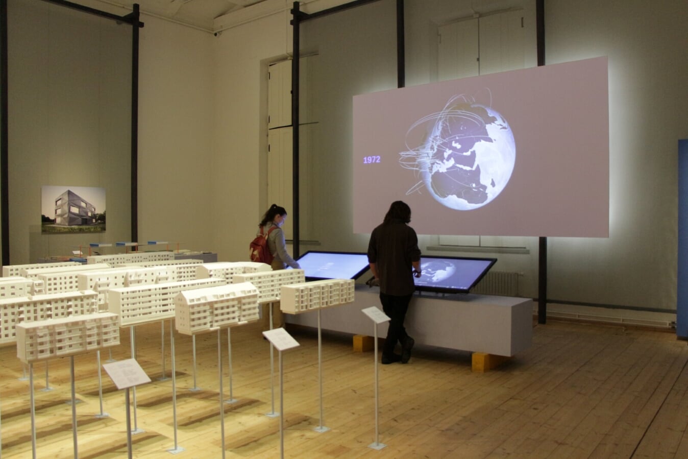
I developed two interactive apps for the “Flying Panels” exhibition, which took place in Arkdes, Stockholm.
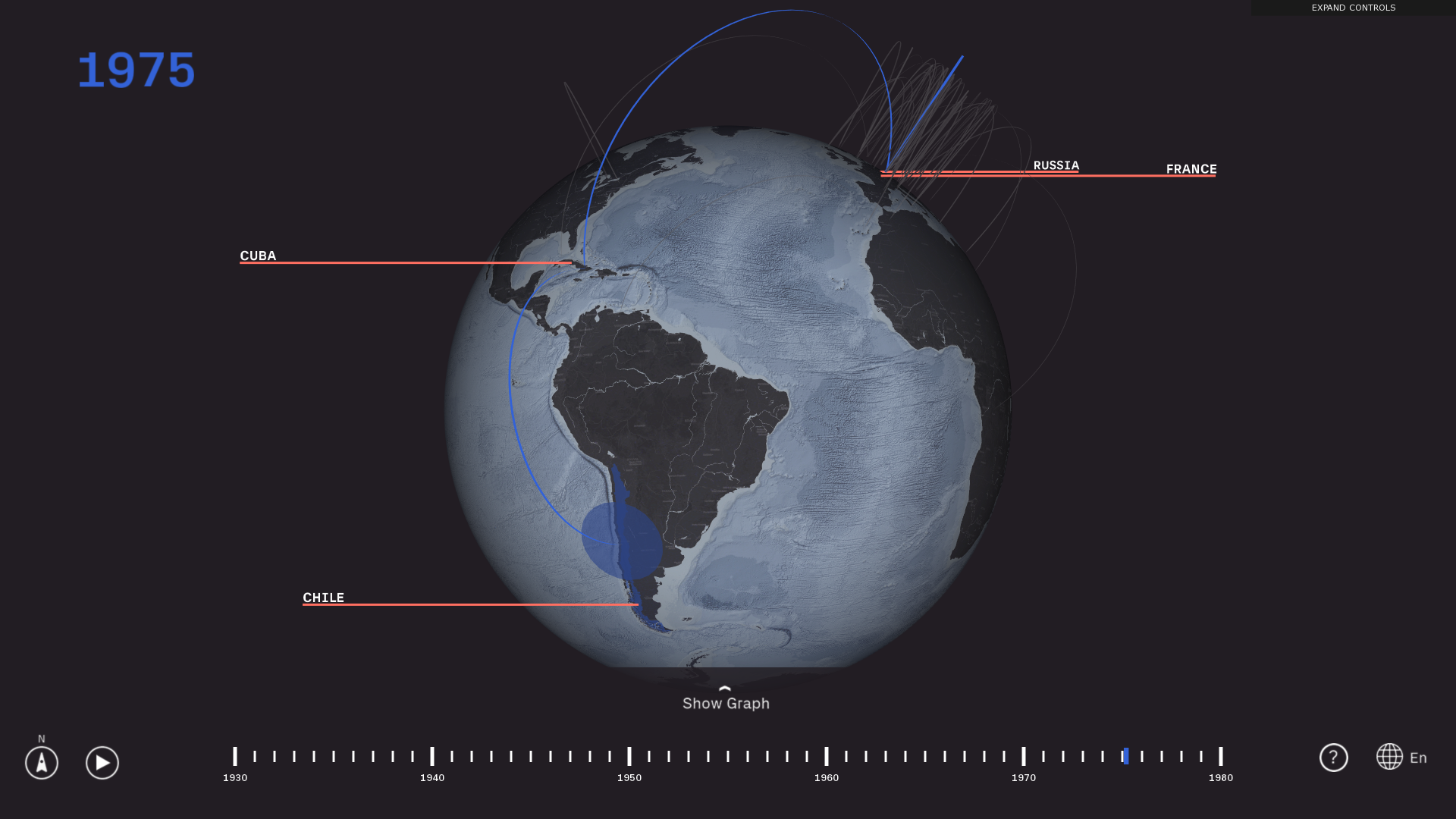
One of the apps shows an interactive world map with the history of prefabricated panels. Using a touchscreen, visitors can navigate through the history of the precast panels and how they evolved over time. The 3D visualization of this touchscreen is replicated in a projection.
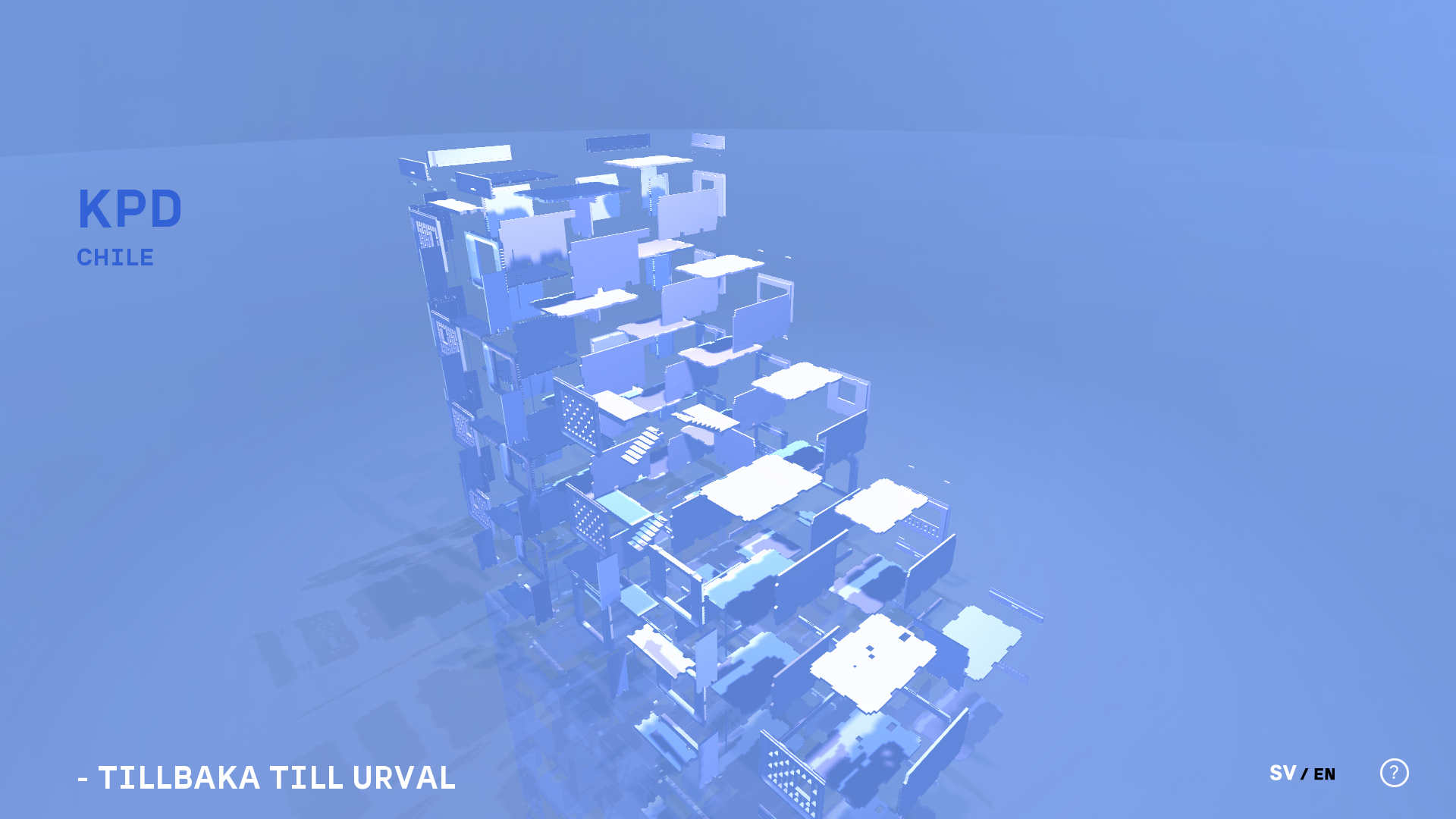
In the second app, users can select a building design to see a 3D visualization. The interactive is has touch controls including rotation, zoon and an “exploded” view.
The apps were made with openFrameworks.


2019. Filed under visualization, maps, geographic data, art
back to overview