#SII scraper
If the information exists, just scrape it!
In 2017, the Internal Revenue Service of Chile (SII) published a webmap with information about the terrains -fiscal appraisal, type of use, etc.- and everyone was exited because it was something totally new (at least in Chile).
With some friends we had an idea about building a model, but the information didn’t exists until that date, so we decided to scrape that info. But the problem was that the maps were rasterized in a WMS, and there was no way to get the shapefiles, but that was not a problem.
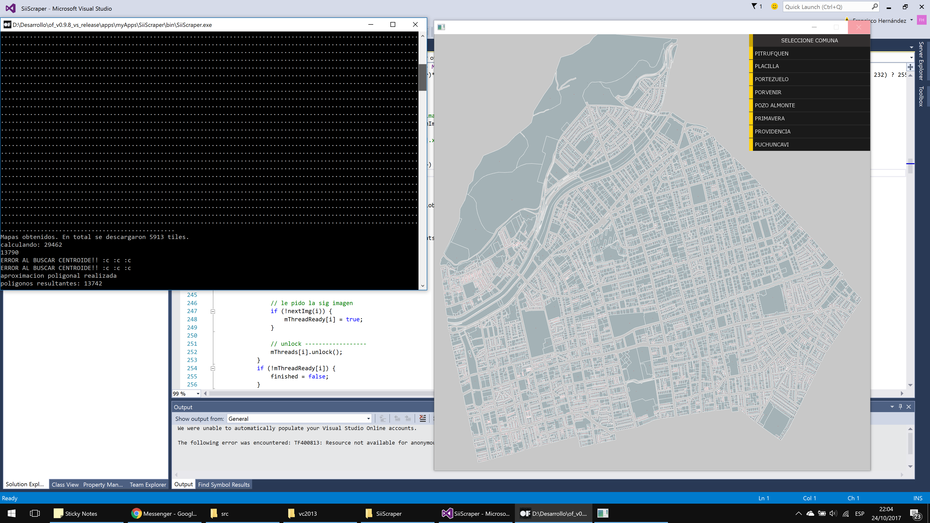
In order to get the information I build a software with vision superpowers. First of all, the software start to download all the tiles of the desired area in a good resolution (1024x1024 per tile) and by each tile, using openCV, I was able to get the shape that was rasterized in the image (using edge detection, polygon approximation, and some other algorithms). After getting those shapes, the next step was use a clipping algorithm to perform an union, and this was the most expensive task in the program.
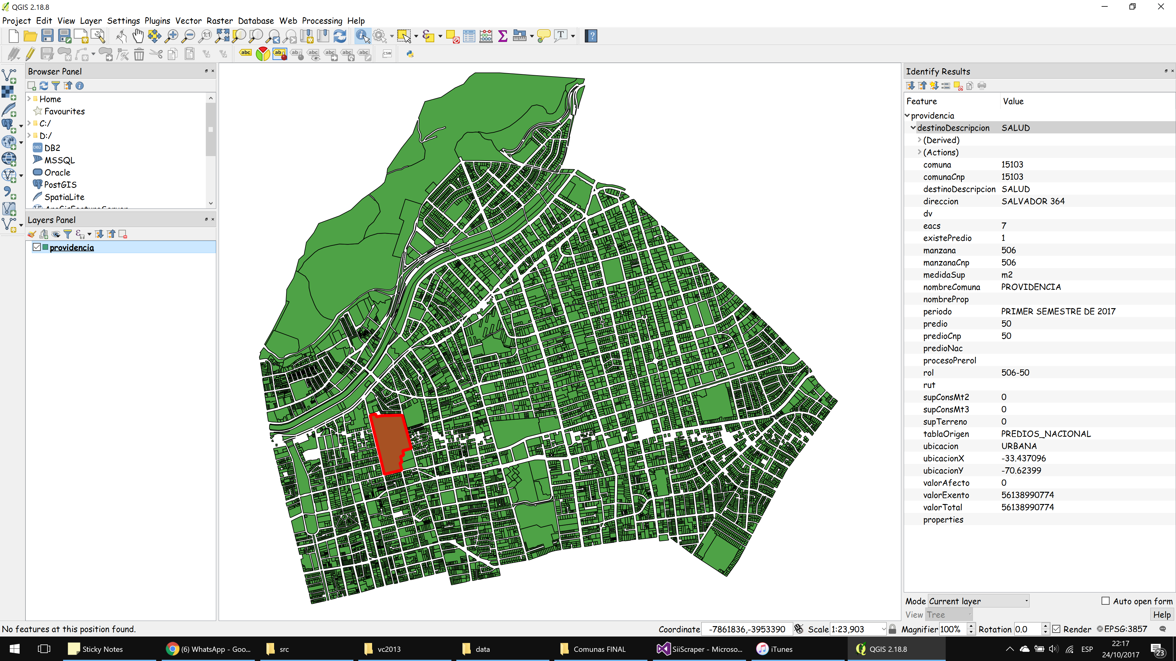
After the obtaining the shapes, I started to obtain the info associated with that shape using the same program and sending some post request to the server with centroids of shapes in Web Mercator coordinates.
 In order to improve the speed of the scraping, I used a multithreading downloading and processing
The result was amazing, and all the shapes where successfully recognized as we can see on the image.
 Information obtained
Sadly, after all that work, we analyzed the data and we noticed that the information was uncompleted, so it didn’t work for our purposes :(
Anyways, I was able to see some interesting info
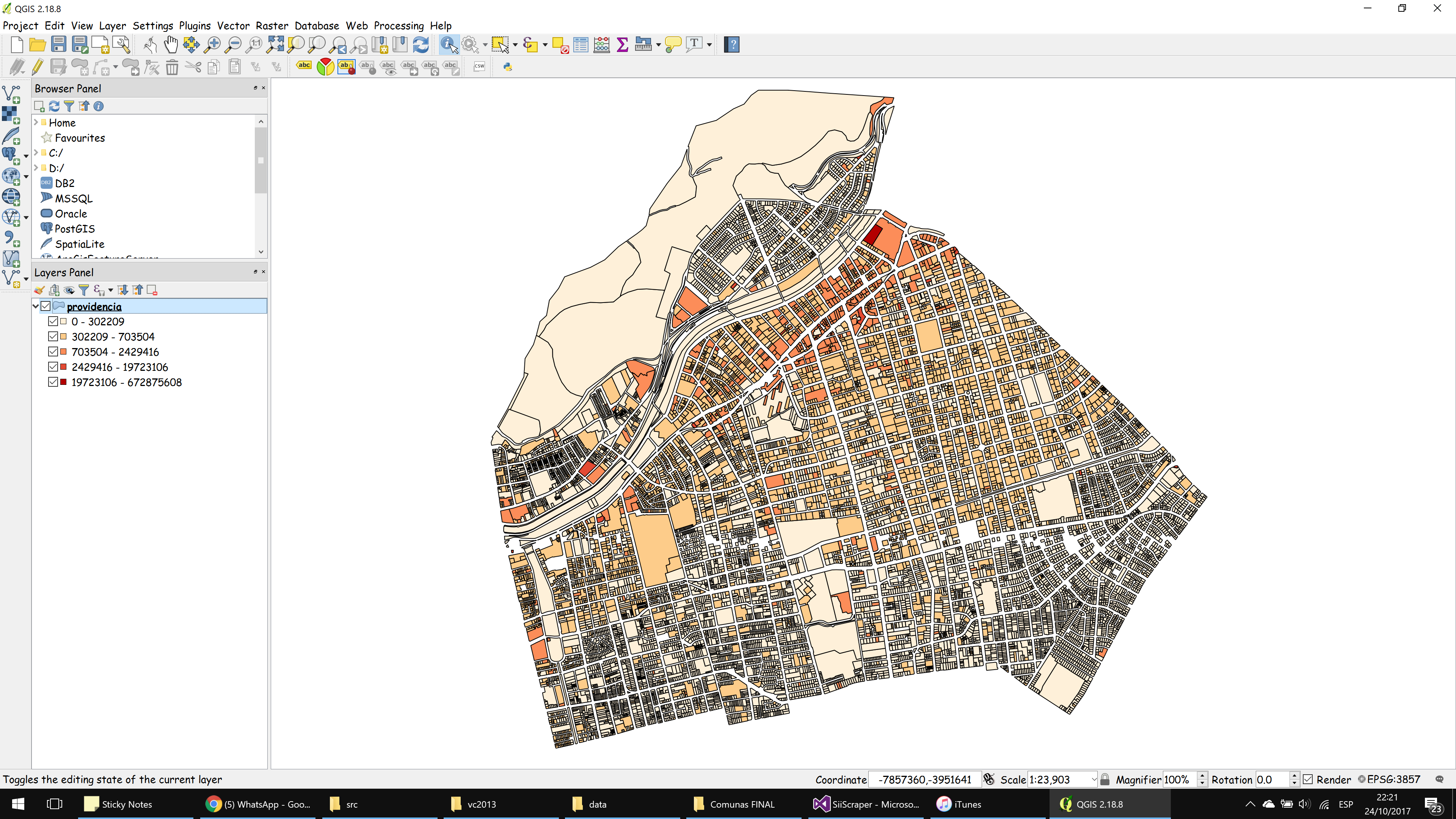
 Terrain value using area and fiscal appraisal
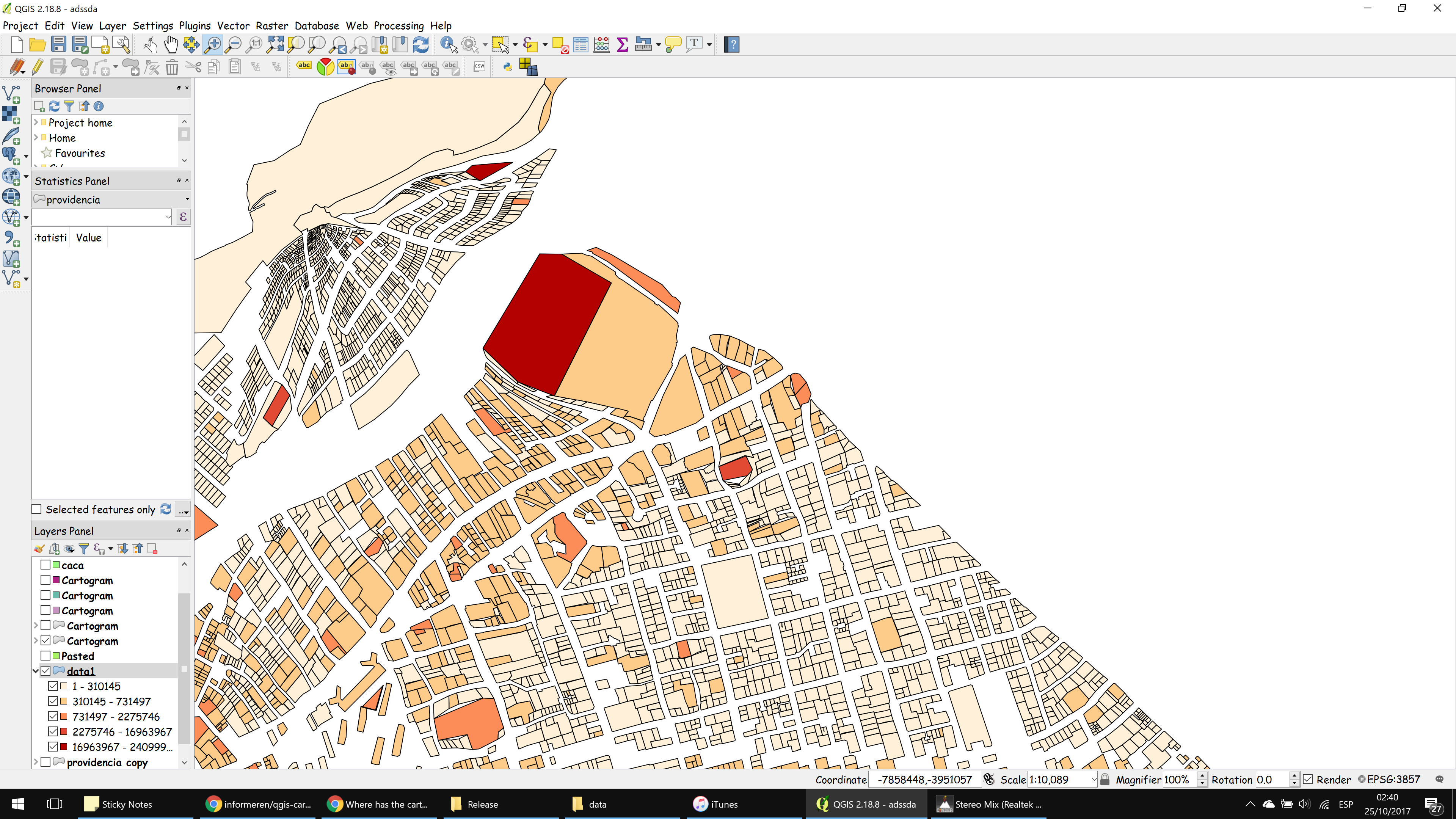
 Cartogram of terrain value
links